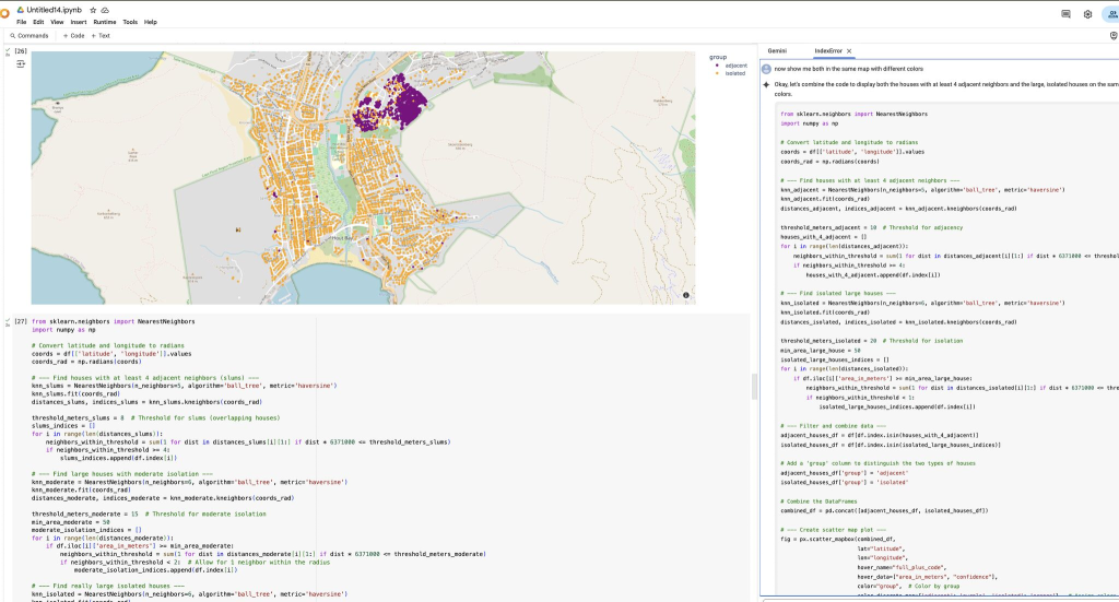
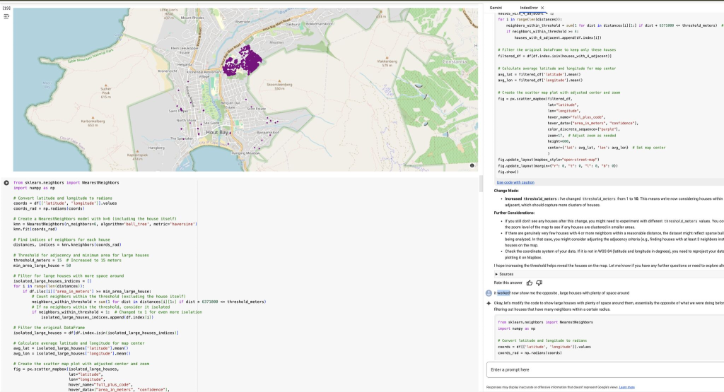
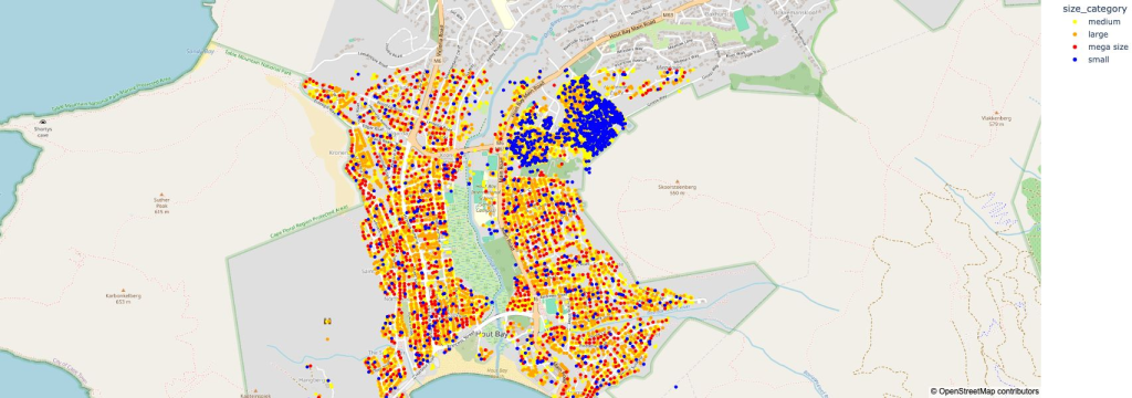
I tested the Gemini Datascience agent with the Hout Bay (Cape Town, South Africa) building data footprint, asking simple spatial questions, “show me small houses” and “identify crowded areas” “what about large houses with few neighbors”. The agent generates interesting visualizations and can select various algorithms, for example it picked k-Nearest Neighbors (k-NN) to detect houses with adjacent neighbors. I spent wayyy too much time on this, but I really liked the interactive aspect to make refinements iteratively by just making suggestions and asking for alternatives, kind of chatting with a Datascience expert :). I guess you would call this Conversational geospatial data analysis?